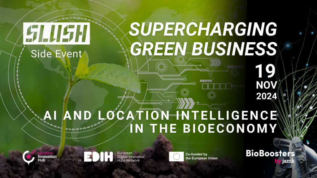
01.10.2024
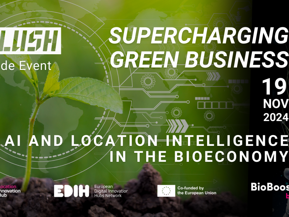
Join us for an engaging event where industry experts delve into the role of AI in the bioeconomy.
Time: 19 November 2024, at 15:00–17:30 (Finnish time, UTC+2)
Venue: Oodi Library, Kuutio, Töölönlahdenkatu 4, Helsinki / Online
Join us for an engaging Slush side event where industry experts delve into the role of AI in the bioeconomy!
This event will explore the transformative potential of artificial intelligence (AI) and location intelligence in driving innovation within the bioeconomy sector. The event partner is BioBoosters business accelerator by Jyväskylä University of Applied Sciences.
Event Highlights:
Be part of this pivotal event and discover how cutting-edge technologies can supercharge green business initiatives. Whether you are a tech enthusiast or a business leader, this event offers valuable insights and opportunities to drive the bioeconomy forward.
First 50 attendees will get a seat in the live event. The event will also be streamed.
15:00 Networking and refreshments
15:30 Opening Remarks
15:35 Panel discussion: State-of-art, Promising breakthroughs, Future Trends and Innovations in AI and Bioeconomy
16:15 Panel discussion: AI and Bioeconomy as business enabler for startups
16:55 Panel discussion & fireside chat: How do AI innovations add value to a company
17:25 Closing remarks
For more information, please contact the Location Innovation Hub: locationinnovationhub(a)nls.fi.
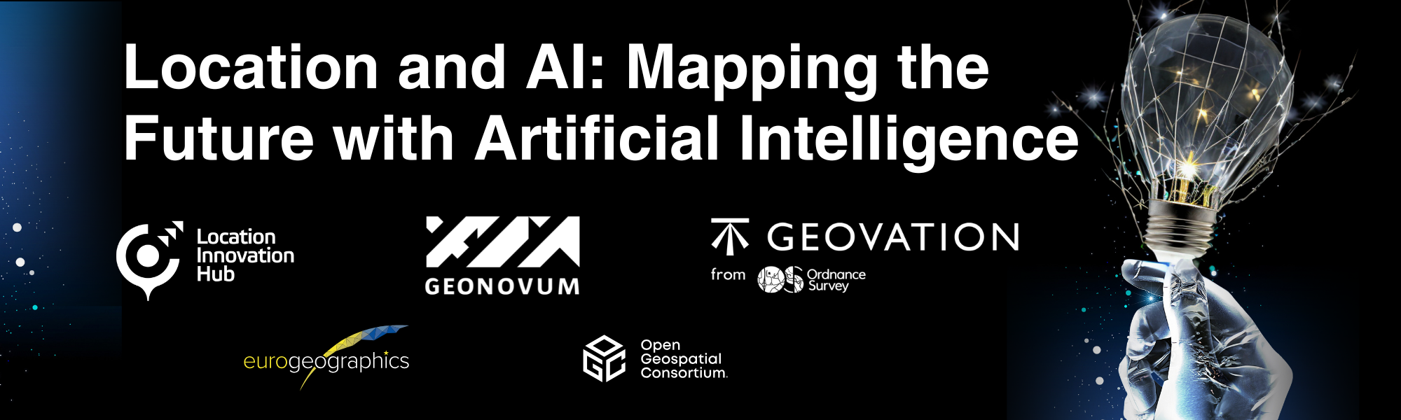
The event is organised by Location Innovation Hub and it is part of the international webinar series Location and AI: Mapping the Future with Artificial Intelligence hosted by international geospatial expert organisations Geovation UK, Geonovum and Location Innovation Hub, with partners including Eurogeographics and the Open Geospatial Consortium.
Read more about the speakers on Positio Magazine:
Empowering Farmers: Unleashing the Power of AI and Location Technology for Smarter Agriculture


