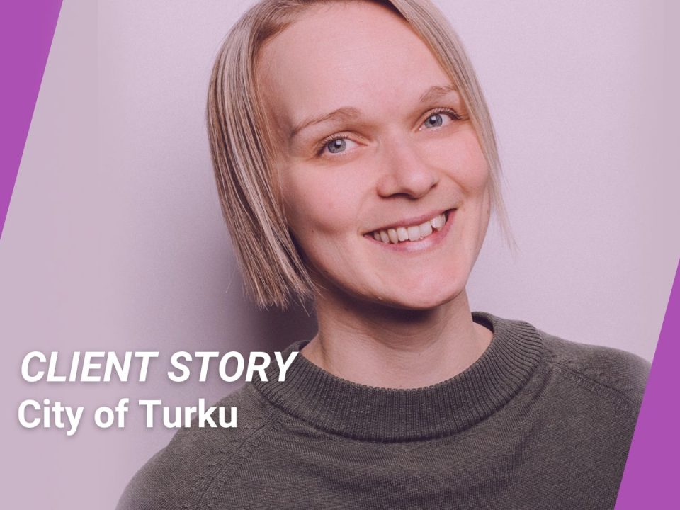
City of Turku - new expertise in geospatial information management

Geographic information in the City of Turku is managed by the geographic information unit which employs about 25 people. The unit maintains a geographic information system that manages the municipality's statutory tasks. It also provides a number of e-services for citizens, such as the Turku Region Map Service, and produces a variety of spatial data sets, products and analyses for the city's needs.

The unit gained new skills by using the Location Innovation Hub's Borrow a Researcher service and training in the use of new technologies.

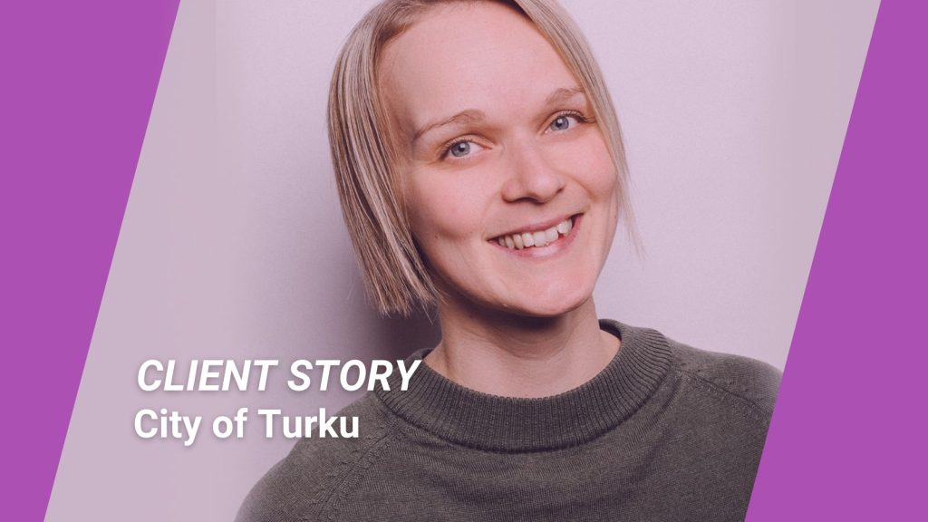
Elisa Mikkilä, Geographic Information Coordinator, City of Turku:

“We were eager to learn about new tools, technologies and practices related to geospatial information and wanted to provide training for our employees on how to use the new software.

Through the Location Innovation Hub, we received useful and up-to-date information on existing technologies, such as the use of artificial intelligence to support map production. Those using MapInfo in the city also received the support and guidance they needed to make the transition to QGIS.

The cooperation was nice and smooth, even though we were moving at a fast pace and with rather limited resources. Perhaps in the next possible round we will be better able to specify our wishes and needs. We have learnt that it is important to put forward your own ideas during the client process, they can always lead to something.”

Does your organisation need advice on the use of artificial intelligence in geospatial data processing or other tips from the best researchers in the field? Do you need training on new technologies and software? Let us help you. Find out more about becoming a client of the Location Innovation Hub and contact us. Most of our services are free of charge.

07.06.2024

Client story: City of Turku – new expertise in geographic information management

City of Turku gained new skills by using the Location Innovation Hub's Borrow a Researcher service and training in the use of new technologies.
16.05.2024

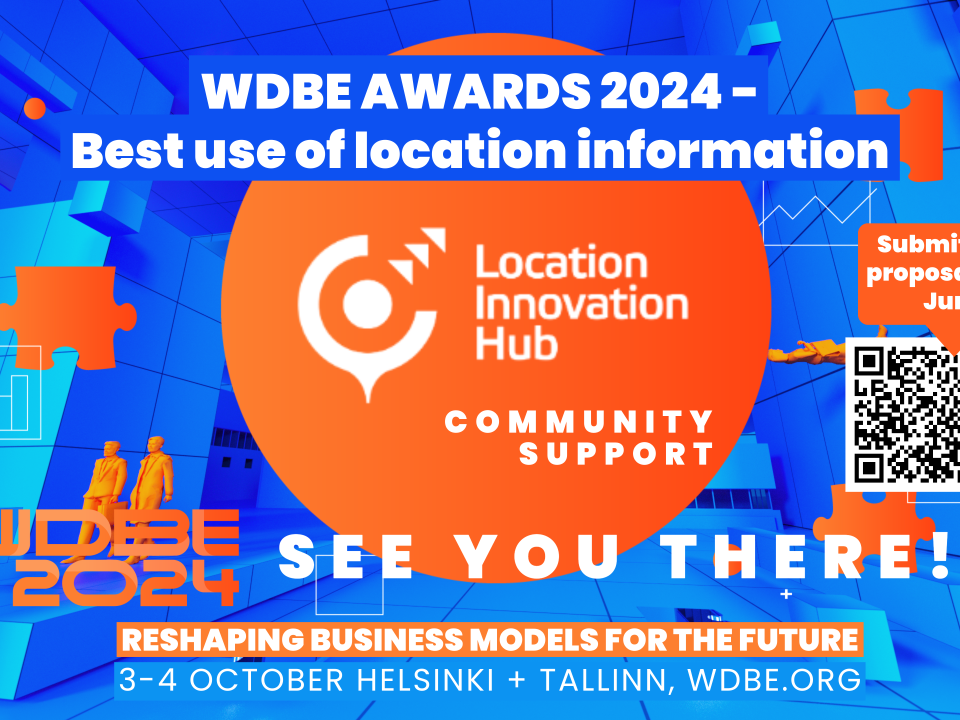
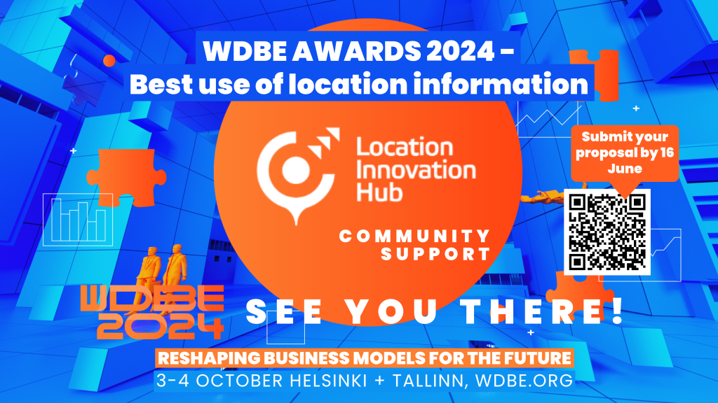
The Best Use of Location Information Award – submit your entry by 8 September 

We are launching the WDBE Best use of Location Information Award with KIRAHub to recognise the teams that are making a difference.
03.05.2024

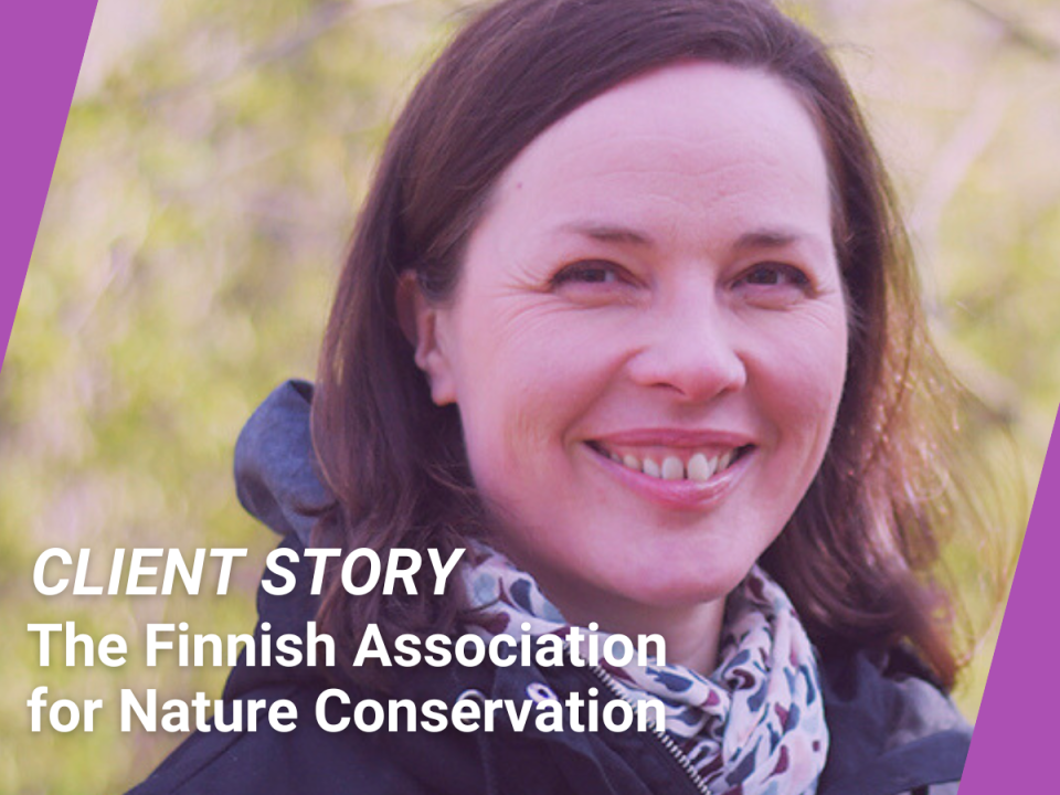
Client Story: The Finnish Association for Nature Conservation – spatial data skills for nature conservation

The Finnish Association for Nature Conservation (FANC) is the oldest and most influential environmental organisation in the country. The Location Innovation Hub provided the FANC with tailored training on the use and exploitation of geospatial data to support their advocacy work.
02.05.2024

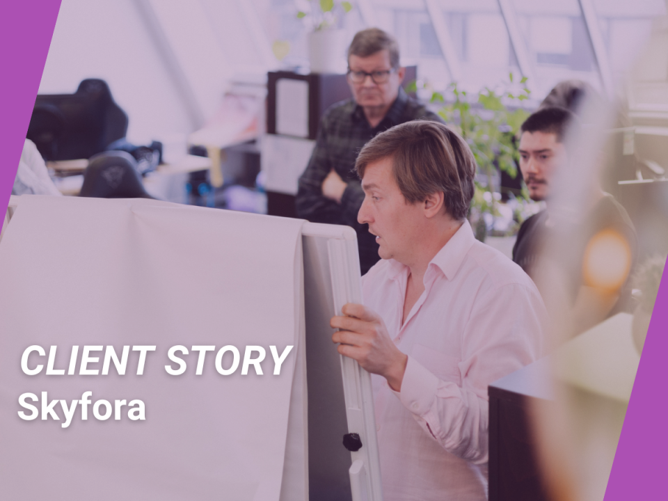
Client Story: Skyfora – making weather forecasts more accurate in a changing environment

Skyfora is an innovative Finnish company that produces weather instruments, weather measurement methods and weather forecasts. The Location Innovation Hub provided Skyfora with technical consultancy and test environments.
24.04.2024

Finns solved the ghost car problem – more location innovation needed for a circular economy

Did you know that an estimated four million cars disappear in Europe every year? This means that cars that are no longer roadworthy are not recycled as required by law but can end up in backyards and on the side of the road. They are ghost cars that cause all kinds of problems.
15.04.2024

21.5. Next Generation Navigation Space – unleash the potential of sensor positioning for your business 

Welcome to hear about research in sensor technologies, be inspired by different use cases and explore the indoor positioning test environment through a demo.