The Best Use of Location Information Award – submit your entry by 8 September
16.05.2024
Client story: City of Turku – new expertise in geographic information management
07.06.2024Four insights into location data to help your business grow
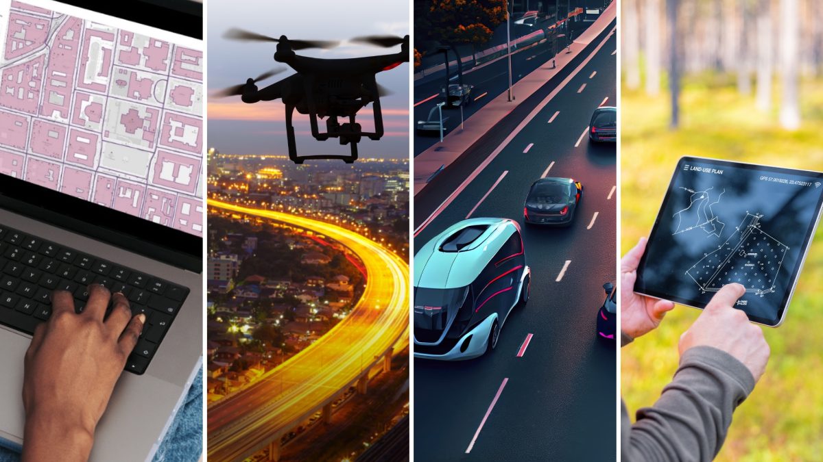
Location-based solutions such as mapping technology and data visualisation on maps, remote sensing and precise positioning technology have become cheaper and more accessible to a wide range of businesses in recent years. These tools help companies to create more accessible services, save time in transport and logistics, speed up processes and reduce costs – to name a few. For consumers, location-based mobile applications and products are part of everyday life.
However, many companies are hesitant about how location technology can benefit their business. It is clear, however, that the key players in the data economy need reliable and up-to-date location data to succeed. Should you get excited? We've put together four tips to help you assess whether effective use of location data would benefit your business.
Could you visualise data or behaviour on a map in your solution?
Visualising data on a map is a very common use case for spatial data and does not require much technical expertise. By learning a little about visualising data on a map and deploying an application to do so, you can serve your customers in a way that is easy to understand. It's worth noting that if you don't know what you're doing, your map can distort or even lie about phenomena. So it's important to understand what the data is and how to present it so that the map really helps the customer.
Could you optimise routes or manage emissions better?
If your business involves moving vehicles, it may make sense to use geospatial data for accessibility analysis or transport optimisation, for example. For example, by combining geospatial data with other types of information, you can highlight the environmental impact of different modes of transport and help consumers make smarter choices. When selecting data for your service, you may find out that there are (too!) many ways to combine data. Our advice is: it's good to start simple!
Want to know how people move from place to place?
Data on people flows can be needed for business on an ongoing basis, or when people gather, for example at festivals. A lot of data about people is being collected all the time, for example through mobile devices. Data about people is often personal data. When using it, you need to remember to take into account legislation such as GDPR. We recommend that you familiarise yourself with what demographic data is available, which data is commercial and which is free, and assess the potential of the data for your business.
Do you use, or are you considering using, data analytics based on drone imagery or satellite data?
Remotely sensed data and the time series they generate can be used quite easily in analyses related to the natural or urban environment. For example, they can be used for emergency preparedness, mining and forestry planning, and biodiversity assessment. Remember that satellite cameras record more information than the human eye can see. It is therefore worth exploring whether imagery containing other wavelenghts of data could be used for business development in addition to, or instead of, images that the human eye can understand. Also remember that, particularly with satellite and aerial imagery, the availability of data is affected by cloud cover in different areas.
If you think that location data could be particularly helpful for your business, you can get support from Finland for free! The Location Innovation Hub offers funding and business support and training on technology deployment. We also provide a range of test environments where you can test your development ideas. We are the only European Digital Innovation Hub (EDIH) focused on location intelligence and offering all services under one roof, supported by the European Union.
- Contact us using this form and tell us more about your needs. We are here to help you!


